")

La Najarra Ascent
Distance: 7,9 km (La Najarra ascent)
Time: 5 hrs (approx.)
Difficulty: High
Ascent: 978 m
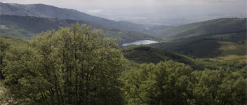
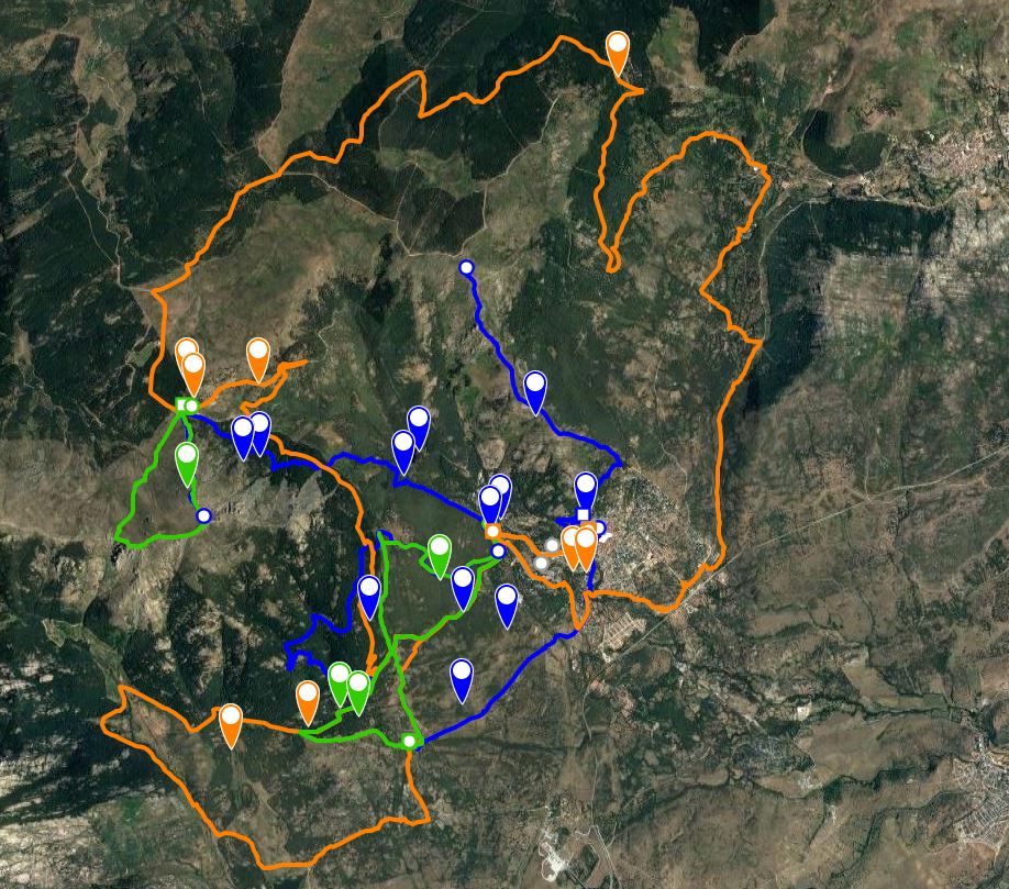
This route begins in the Fuente del Cura recreation area. Walk across the bridge over the River Miraflores and take the track on the right in heading northeast. Walk up for 1,700m until you reach the Miraflores reservoir. Just before reaching the gate which leads into the reservoir area, take the path on your left which leads above it.Walk uphill following the signs,cross a field and walkthroughthe oak forest on the other side
. Continue until you reach a path crossing the track in a north-south direction, just before reaching the Pradera de los Llanos de la Matanza. Fromhere, walk steeply uphill for about 400m,parallel to a stream coming down from the pine forest, until you reach the edge of forest.
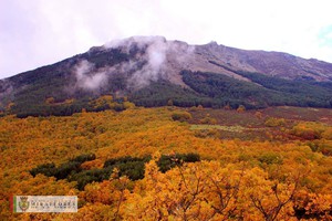
Cross the Cordel de la Morcueraand continue uphill through the pine trees until you come out onto the Morcuera forest track.Here you will see one of the seven large scree slopes known as the “Seven Streets” located on the side of the mountain These scree slopes are enormous accumulations of fragmented gneiss rock which have fallen from the high slopes of the Najarra. Walk along this path for a few metres, then take the path on your left and head up through the pine forest until you reach the top of the Morcuera mountain pass at a height of 1,796m, and 5,3km from your starting point.
Walk past the wooden barrier on the left of the mountain pass and staying close to the wall which divides the different municipalities, go up a few metres until you reach the north ridge of the Najarra. Climb up the ridge among the rocks and the broom enjoying the spectacular views until you come to the trig point at the top (2.105m) which is where the ascent finishes. It should take around two hours to retrace your steps back to your starting point.