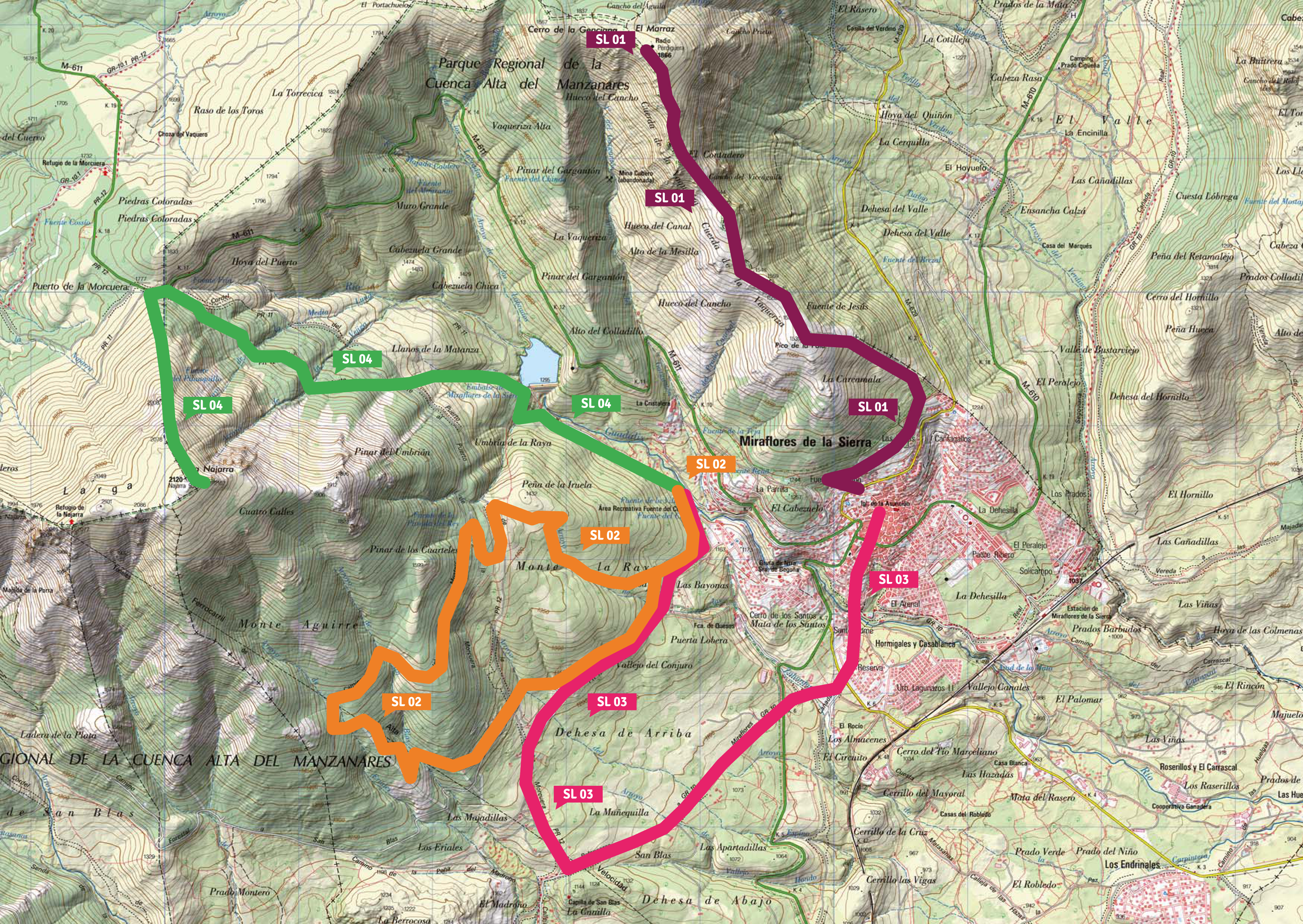
")

Pico de la Pala – Perdiguera ascent
Distance: 10,6 km (5,3 km Pico Perdiguera)
Time: 4 h
Difficulty: High
Ascent: + 750 m (Perdiguera)
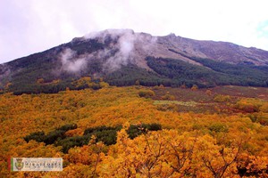
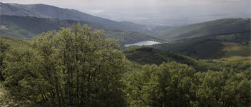
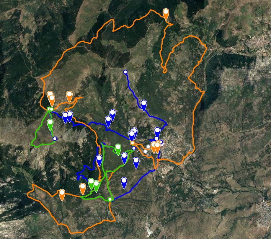
Ascent: 750 m (Perdiguera)The route begins at the Fuente del Pino, situated in the street of the same name. Walk up the street, take the second turning on the right, and continue steeply up Travesia del CabezueloA few metres after the end of the road, take the path on the right hand side. Head first downand then up until you reach the Fuente del Carro, a municipal water deposit (1,4 km). At this point, start walking down the path which leads from here and where the path joins another, go left. Continue steeply uphill until you reach the Pico de la Pala (2,75km). At the top of the Pico de la Pala, walk northwards up the ridge to the summit of the Pico Perdiguera (1,886m) where there are magnificent views of the Hueco del Gargantón and the Canchodown below, of the Najarra and the Morcuera mountain pass to the south east, and to the east the Bustarviejo valley with Cabeza Arcón in the background.
To descend, walk down to the Pico de la Pala and from therecontinue back down to your starting point.