")

High mountain broom and the Najarra summits.
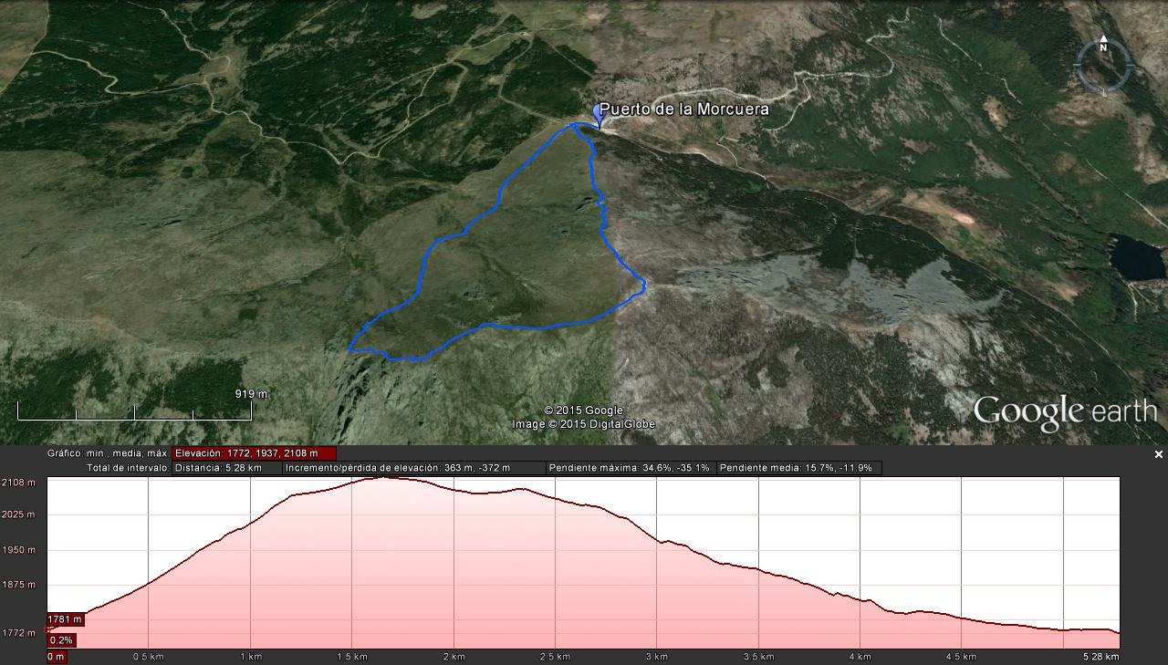
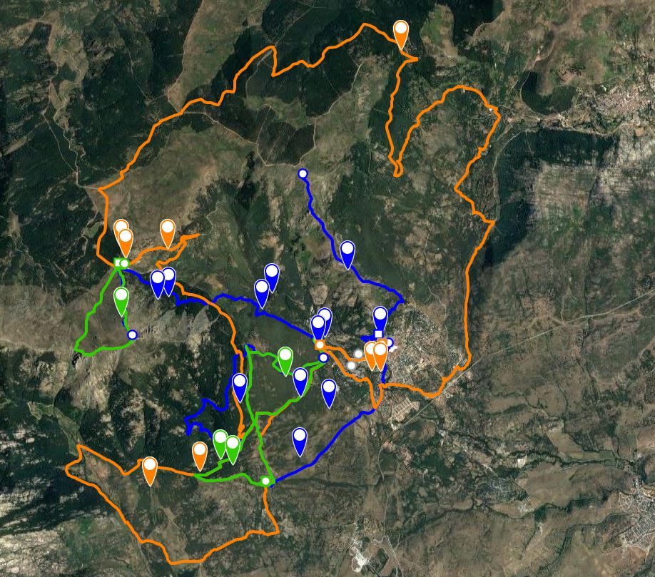
Distance: 5 km approx. (circular).
Time: 3,5 h. Estimated time allowing for pauses to observe fauna
Difficulty:Medium-high (depending on time of year).
Ascent: 450 m.
Max / average / minimum altitude: 2,120m/1,750m.
Terrain: Tracks and footpaths
Recommended time of year: Spring and summer
Observations: Although the walk is not difficult, it crossesrocky areas where care must be taken. There is very little shade so it should be avoided on especially hot summer days. In winter, the route is unadvisable when there is fog, abundant snow or ice, and suitable equipment must be used if undertaking the route in these conditions.
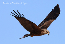
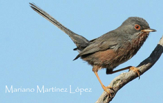
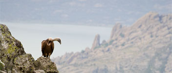
Resident species:golden eagle, griffin vulture, black vulture, hedge sparrow, crested tit, coal tit, red-billed chough, black redstart, stonechat, rock bunting, citril finch,crossbill.
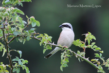
Species found in summer: red-backed shrike, ortolan bunting, rock thrush, northern wheater, common lark, crag martin, tawny pipit.
The starting point for this route is the carpark at the top of the Morcuera mountain pass. Walk up the steps on the left-hand side, beside a boundary stone marking the beginning of the national park and the starting point of a well-known mountain walk, the Cuerda Larga. Some metres further on, pass through the gate in the wooden fence and continue along the track. This path is the remains of a project to build a road connecting the Morcuera and Cotos mountain passes. Fortunately, the project was abandoned and we are still able to enjoy the beautiful countryside.
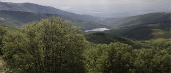
After a few minutes’ walk through the broom and creeping juniper bushes, you reach the remains of an old stone bridge over a stream, part of the afore mentioned road. Keep following the yellow and white signs marking the PR11 footpath until you reach a rocky outcrop and then take the path on the left. After a rocky ascent, you reach the Najarra col where there are splendid views of the Hueco of San Blas and the rocky crags of Peña Arcon.
At the col, turn left and go up the steep pathwhich leads to the summit of the Najarra. Some minutes later, you reach the Najarra mountain refuge, a good place to stop to rest and enjoy the nearby flight of the black vulture orgriffin vulture.
Continue along the less steep, well-marked path where the vegetation is predominately mountain pasture until you reach atrig point situated on a rocky outcrop which marks the summit of the Najarra and the highest point of the walk.
To descend, go down through the broom on the path next to the fence, crossing several rocky outcrops on the way.Halfway down, you can see the mountain pass which